Precision Aerial Intelligence for Smarter Project Decisions
Stay in control of your job site with clear aerial visibility. Monitor progress, verify subcontractor work, and keep stakeholders informed at every stage


Certified industrial inspection expertise
Clear, High-Quality Aerial Documentation
Full Visibility into Your Project
Fast Turnaround & Flexible Scheduling
FAA Certified & Fully Insured
Our Services
Precision drone visuals tailored for construction and property needs.
Inspections
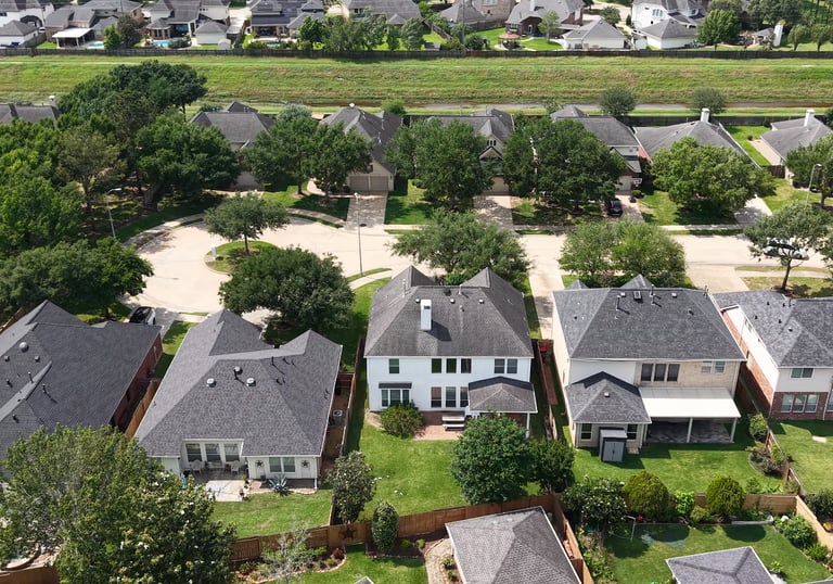
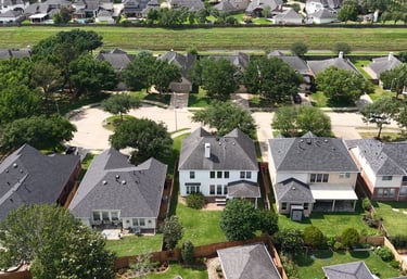
High-resolution aerial overviews to identify structural issues, drainage patterns, and roof integrity without the safety risks of manual climbs.
Progress
Weekly or monthly aerial updates that document key milestones, showcase before and after results, and keep your team and stakeholders clearly informed at every stage of the project
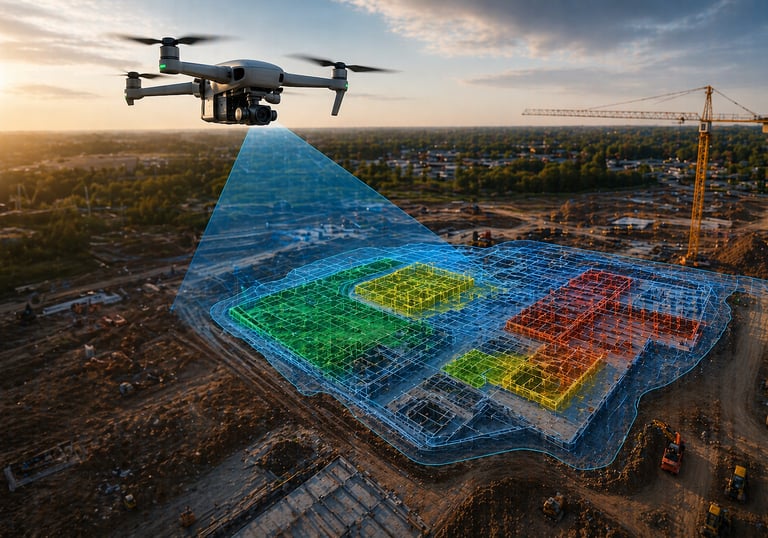
Interactive 2D maps and 3D site models that give you a complete visual understanding of your project, supporting planning, progress tracking, and better decision-making.
Mapping


Operated by a certified inspection professional with deep expertise in structures, materials, and asset integrity.
Stay Updated
Get the latest aerial insights and offers
Contact
Email: info@dronecaliper.com
Phone: (443) 813-3160
© 2026 DroneCaliper. All rights reserved.